Blessem Hall
Map Illustration
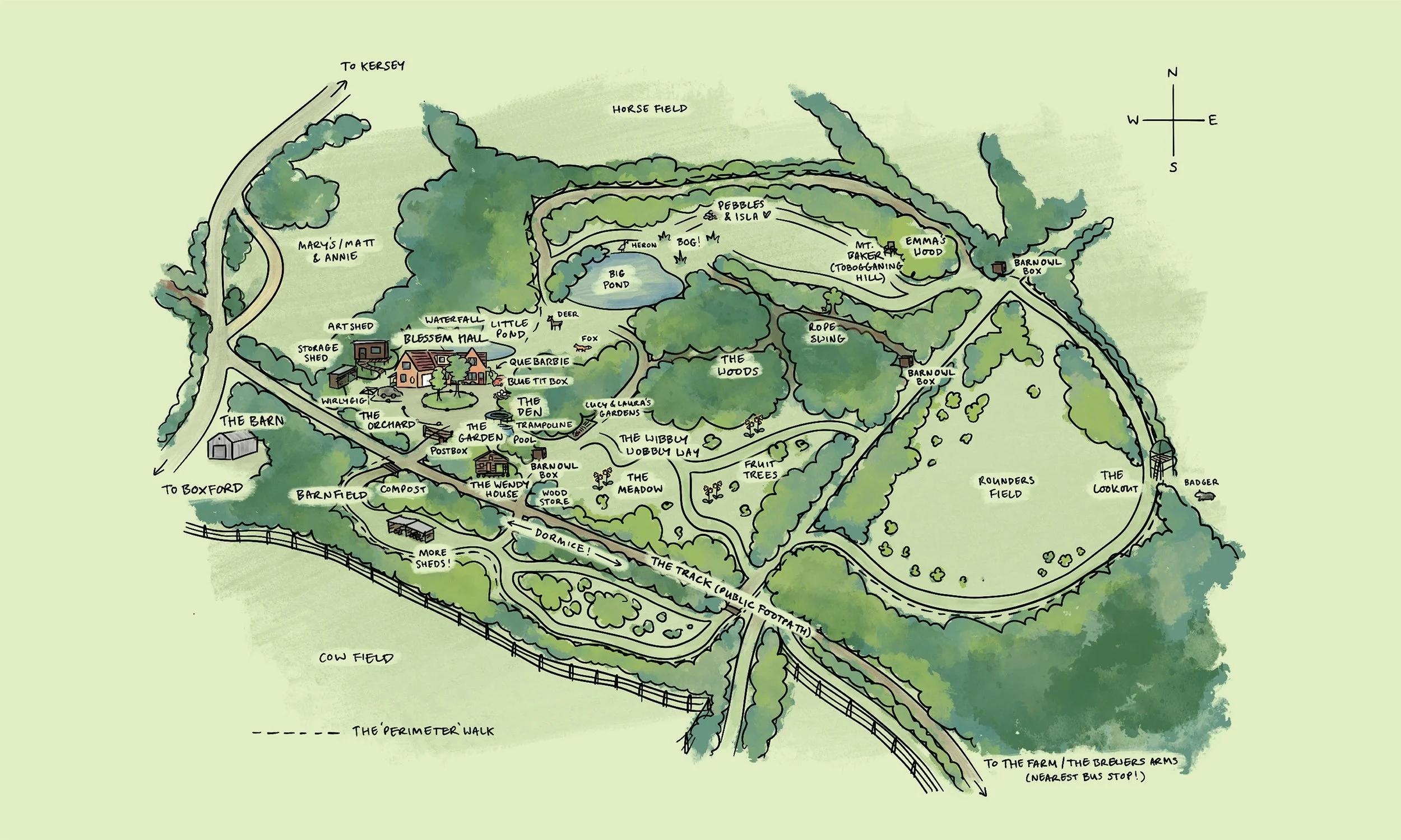
Illustrated map of Blessem Hall – a cherished family home and oasis for wildlife.
I created this map for my father’s 70th birthday. After managing the land for 34 years, the time had sadly come to find someone else to continue his work and enjoy our wonderful home.
The map is a tribute to my dad as well as a celebration of our home and the precious memories it holds. As a conservationist and artist (although he’s too humble to consider himself the latter), cultivating the land has been his life’s work – from digging the ponds and building countless sheds (including an art room on stilts and two-storey wendy house), to planting trees, introducing the Cornish primroses that cover the ground each spring, and creating a haven for animals (including the endangered hazel dormouse).
The map is filled with special places and family memories – such as the infamous ‘Wibbly Wobbly Way’, ‘wirlygig’ (washing line), ‘que barbie’ (BBQ), ‘Mount Baker’ (a small hill where we used to go sledging, back when the UK had proper snow), and walking paths – providing a unique memento to remember our home by in the years to come.

